


Rozier

jpipacific
User
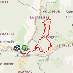

Length
16.6 km

Max alt
899 m

Uphill gradient
898 m
Km-Effort
29 km

Min alt
405 m

Downhill gradient
897 m
Boucle
Yes
Creation date :
2016-09-08 00:00:00.0
Updated on :
2016-09-08 00:00:00.0
6h29
Difficulty : Medium

FREE GPS app for hiking
 SityTrail
IGN / Geographical institutes
SityTrail Plus
The world is yours!
About
Trail Walking of 16.6 km to be discovered at Occitania, Lozère, Le Rozier. This trail is proposed by jpipacific.
Description
Belle rando pas facile mais belle
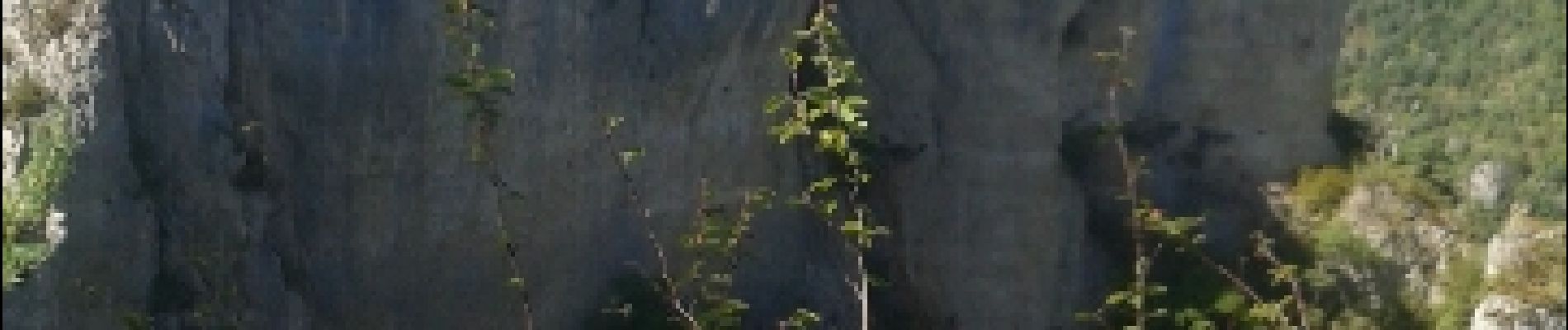
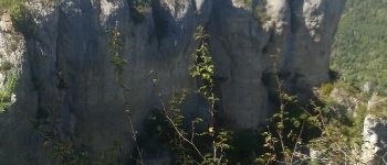
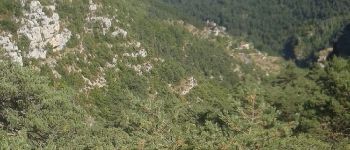
Photos


Positioning
Country:
France
Region :
Occitania
Department/Province :
Lozère
Municipality :
Le Rozier
Location:
Unknown
Start:(Dec)
Start:(UTM)
516497 ; 4893217 (31T) N.
Comments